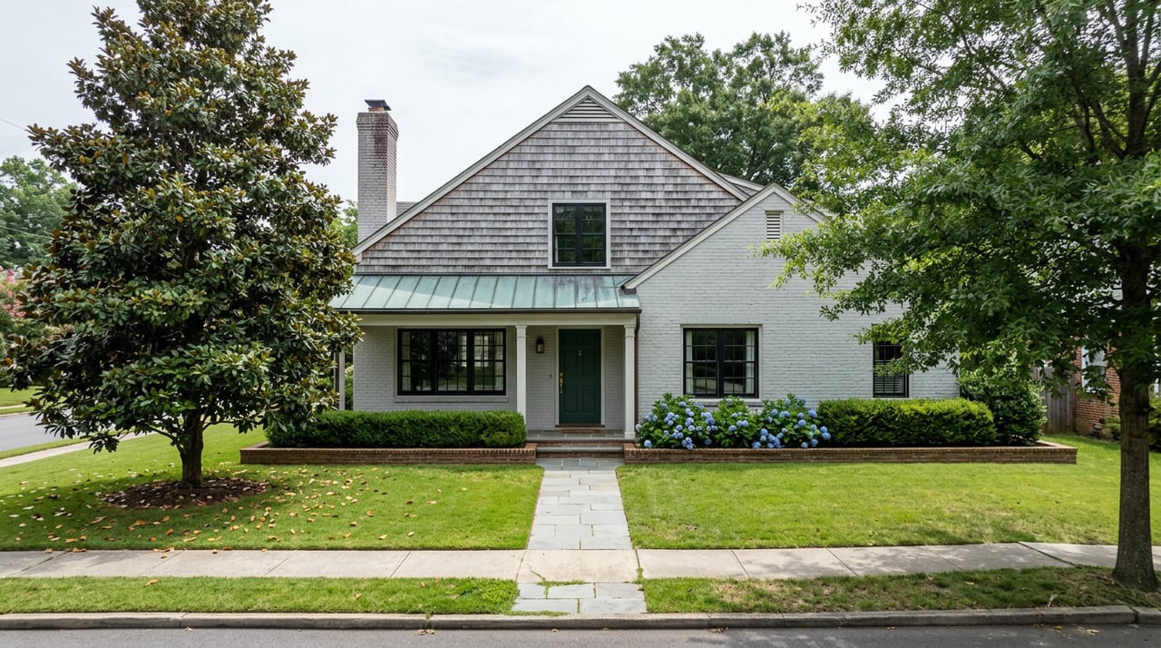
Westover Hills Boulevard Dropped to 25 mph This Spring. The Real Reason Is Two Miles Long.
September 10, 2026
September 10, 2026
If you've driven the stretch of Westover Hills Boulevard between Forest Hill Avenue and the Nickel Bridge since April, you've seen the new 25 mph signs. The old limit was 35, and according to the city's own speed data, most drivers on that block were already treating it as a suggestion, running closer to 40 on a regular basis.
The city announced the change on March 31 and had new signage up by mid-April, folding it into Richmond's Vision Zero initiative. Councilwoman Sarah Abubaker called the boulevard "a road of connection" and noted that fewer people are driving that stretch just to pass through, while more are walking, biking, and rolling along it. Transportation Director Andy Boenau put it more plainly on the record: the boulevard is "a key north-south connection," but the city doesn't want it functioning as "a high-speed connection."
That distinction matters, because the change isn't really a response to a crash pattern on that particular block. It's tied to something happening one street over, in an old CSX rail bed that's slowly becoming a two-mile paved trail.
The James River Branch Trail has been on the drawing board since 2009, which makes it one of those Richmond infrastructure ideas that outlasted several budget cycles before a shovel touched dirt. The city broke ground in December 2024, with Mayor Levar Stoney and Parks Capital Projects Planner Ryan Rinn on hand. Rinn's framing at the ceremony was specific: roughly 4,000 households south of the trail's path stood to gain a car-free route to the area's high school, to Southside Plaza, and to the wider James River Park System.
The trail runs from Westover Hills Boulevard to Hopkins Road, paved, 10 feet wide, with 2-foot graded shoulders. It crosses five roads on the way, and the city's capital improvement plan spells out what happens at each one.
| Crossing | Planned treatment |
|---|---|
| Westover Hills Boulevard | Western trailhead |
| Midlothian Turnpike | Lane reduction and a choke island |
| Hull Street Road | Pedestrian hybrid beacon or rapid flashing beacon |
| East Broad Rock Road | Raised crosswalk |
| Hopkins Road | Eastern terminus |
The project carries a roughly $9 million price tag, funded through an American Rescue Plan Act grant. Planners also have a companion piece in the works: a bridge across Reedy Creek in Crooked Branch Ravine Park that would eventually link the trail's western reach to Forest Hill Park and the broader James River Park System, letting someone walk or bike from the rail bed all the way to the river without touching a road shoulder.
Early city meetings in 2024 pointed to a spring 2026 finish. That date has come and gone with construction still underway, and the more recent estimate from the groundbreaking event put full completion closer to the end of 2026. City officials have been consistent about one thing every time they've discussed the schedule: it's subject to change.
Some of this isn't hypothetical. A short walk from the new speed limit signs, next to Richmond High School for the Arts, the city has already installed pedestrian hybrid beacons, the same crossing treatment planned for several points along the trail itself. Boenau described the broader approach as a Swiss cheese model of safety:
"We described this as a Swiss cheese model of safety, which is if you stack up Swiss cheese, if you have enough pieces, then eventually all those holes will be covered. So, each layer is very important."
Richmond Police are also running monthly speed enforcement blitzes along corridors like this one, part of a citywide transportation safety push that Boenau put at close to $900 million over five years.
Put the boulevard and the trail side by side and the timing stops looking like coincidence. The city lowered the speed limit on the same road that anchors the trail's western end, in the same season it's finishing crossing treatments that will eventually carry trail users safely across five roads to the east. Westover Hills Boulevard didn't just get slower. It got treated like the front door to something the city is actively building behind it.
None of this required a new commute or a new route. If you're grabbing a bag from Blanchard's Coffee Roasting Co. or a sandwich at Outpost Richmond, the market and bike shop combination on Forest Hill Avenue, you're already standing in the area Boenau called "a great community node." Cafe Zata, O'Toole's Restaurant and Pub, and Väsen Brewing Company, which houses Kobop RVA, all sit within a few blocks of the boulevard now capped at 25.
What shifts, gradually, is the math of getting between those places on foot or by bike. Slower car traffic on the boulevard makes the walk from a Riverside Drive block to Forest Hill Avenue less of a gamble at the crosswalk. Once the trail's crossing treatments are finished, that same walk or ride extends east, past Midlothian Turnpike and Hull Street Road, without needing to find a driving route around them.
A few practical notes if you want to track either project yourself:
Cities announce speed limit changes all the time, usually without much explanation beyond the word safety. What makes this one worth noticing is what it's wired to. The boulevard didn't slow down because of a spike in crashes on that specific block. It slowed down because the city is treating it as the entrance to a trail that, once finished, is meant to let thousands of Southside households reach a high school, a shopping plaza, and a 600-acre park system without a car. That's a different kind of infrastructure story than most press releases tell, and it's still being written a few blocks off Forest Hill Avenue.
If you're curious how changes like this shape day-to-day life and home value in Westover Hills, or you're simply wondering what your place is worth as the neighborhood keeps evolving, Kelly Blanchard Real Estate is easy to reach and easy to talk to. Get a Free Home Valuation and get an honest, no-pressure read on where things stand.
Stay up to date on the latest real estate trends.

From your first consultation to closing day, we're committed to providing expert guidance, responsive communication, and a seamless experience.